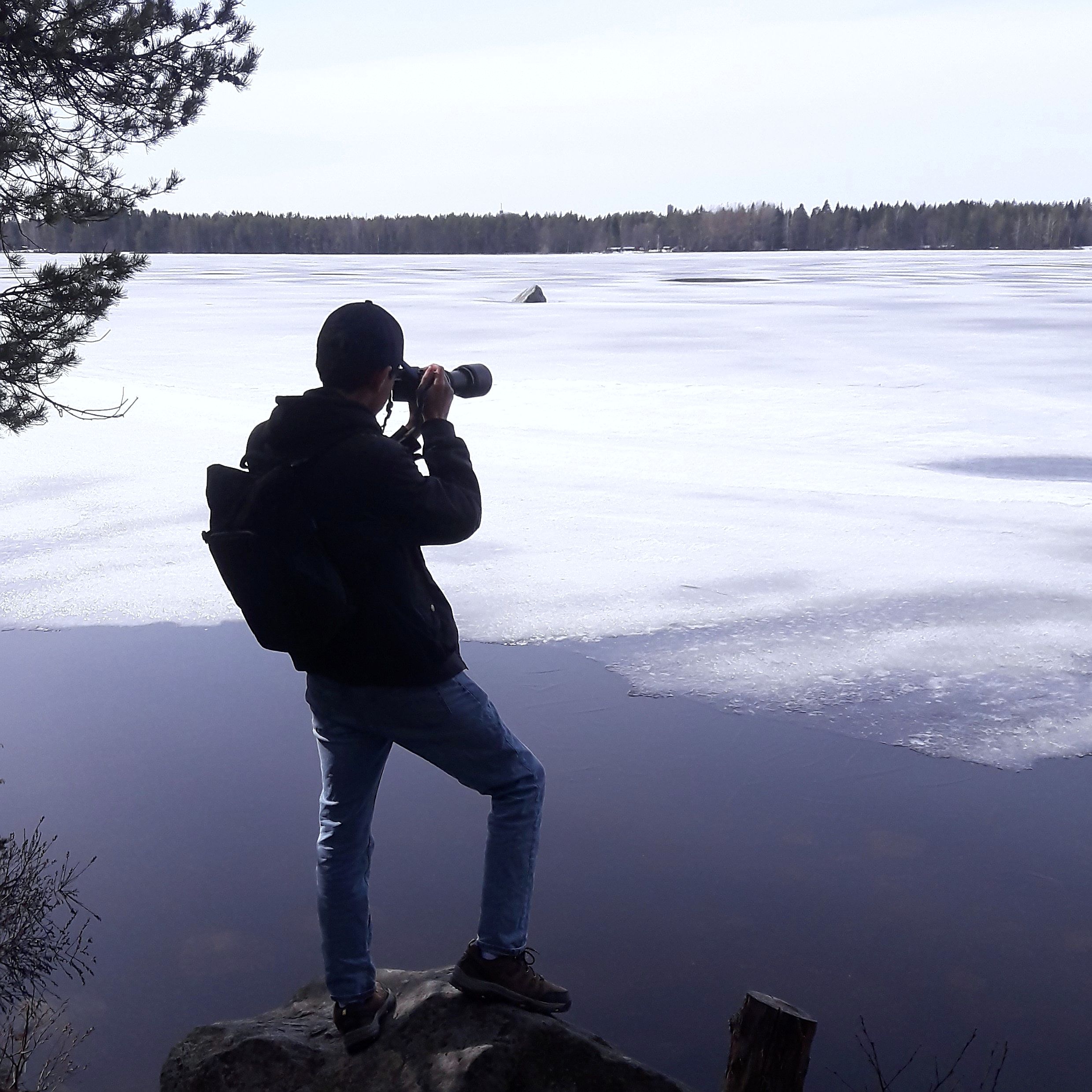
About Me
As a hobbyist, I am involved in a wide range of citizen science and collaborative projects. A list of the various profiles I use online can be found below. Beyond these, I also have experience with Python development, music performance and recording, and visual art.
I developed this website from scratch. Being an ecologist with no web development training, there may be bugs or imperfections. All content on this site was produced by a human being using no AI tools whatsoever.

iNaturalist: Natthager
iNaturalist is a large wildlife citizen science platform to which users can upload their photographs and media and others can suggest identifications. I am involved both with the observation and identification side, having made over 8000 and over 9000 respectively as of writing.

eBird: Matt Osborne
eBird is a service operated by the Cornell Lab of Ornithology. It is a repository of birding checklists used to provide crucial information about bird species around the world. It is also a central platform widely used in many birding communities. All of my eBird data is visualized on this website at my Bird Life List.

BugGuide: Natthager
BugGuide is a website that collects documentation and identification information of North American arthropods. My contributions on this platform are still relatively small.

xeno-canto: Matt Osborne
xeno-canto is a platform that collects audio recordings of wildlife from around the world, acting as an identification database and a valuable scientific repository. My contributions on this platform are still relatively small.

Wikipedia: Natthager
I'm sure you all know what Wikipedia is. I have over 100 photos on Wikipedia articles and on Wikimedia Commons. I regularly make contributions to articles, with a particular focus on species articles, local geography, and transportation infrastructure.
OpenStreetMap: Natthager
OpenStreetMap is a free, editable map of the world. Data from OpenStreetMap powers many major mapping tools and platforms. I make occasional contributions, with a particular emphasis on sidewalks and walking trails.